To provide you with the best experience, cookies are used on this site. Learn more

To provide you with the best experience, cookies are used on this site. Learn more

To build your own Itinerary, click  to add an item to your Itinerary basket.
Already saved an Itinerary?


Number of results: 50
, currently showing 1 to 20.
Walking Route
Abergavenny
1.6 mile walk around Castle Meadows and Linda Vista Gardens.

Walking Route
Skenfrith
A 6 mile walk north of Skenfrith in the Monnow Valley.
Guided Walking
Monmouth
Based in Monmouth close to the Wye Valley Walk and the Offas Dyke Path, this Monmouthshire based walking holiday company have been organising self-guided tours throughout Wales and the UK for 15 years.
Guided Walking
Pontywaun, Crosskeys
Welcome to Wales Outdoors, the leading guided hike and guided tour provider in Wales. From waterfalls to castles, mountains to industrial heritage and from beach to Roman ruin, whether on foot all day or as a passenger in our luxury fully electric…


Walking Route
Chepstow
2.6 mile route through Piercefield Park and returning on a section of the Wye Valley Walk.
Walking Route
Monmouth
A 6 mile walk to the north of Monmouth
Walking Route
Abergavenny
2.7 mile walk following the River Gavenny up and downstream.
Walking Route
Chepstow
2.7 miles from the village of Mathern, through farmland and the St Pierre golf course.
Walking Route
Monmouth
A 2.75 mile walk through Drybridge Nature Park and Vauxhall Fields, returning along Watery Lane.
Walking Route
Chepstow
A 2.8 mile circuit in farmland between Mathern village and Chepstow.
Walking Route
east of Llanvetherine, Abergavenny
A walk of 5.8 miles, taking in a section of the Offa’s Dyke Path, villages and undulating farmland to the east of Abergavenny.
Walking Route
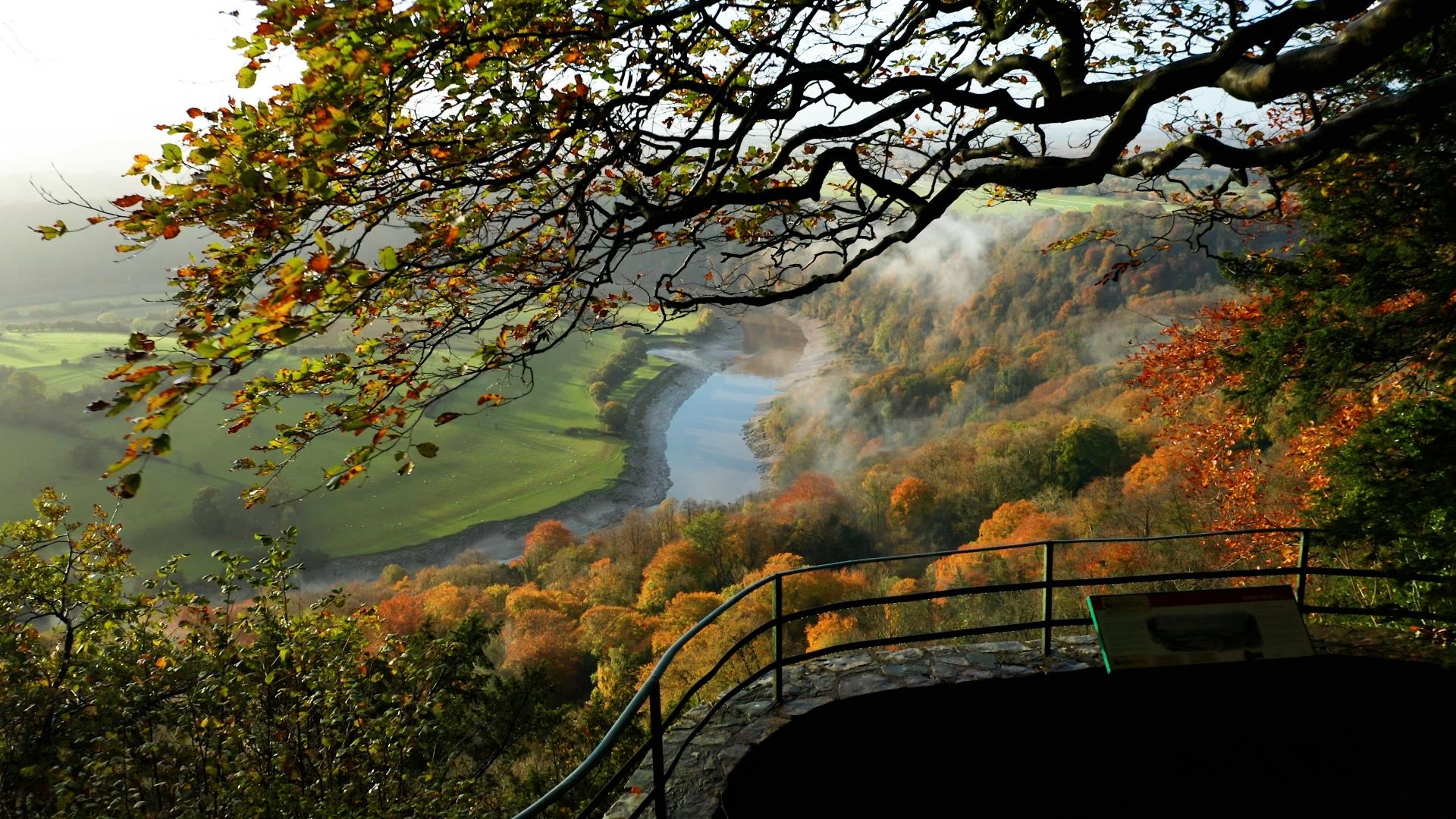
Nr Trellech, Monmouth
Craig-y-dorth is a short walk in the Wye Valley near Trellech, offering some of the best views of Monmouthshire.
Walking Route
St Arvans, Chepstow
2.8 mile route through and to the west of the village of St. Arvan's.
Walking Route
Abergavenny
4 mile walk along the River Usk to the west of Abergavenny.
Walking Route
Llantilio Crossenny
A 5 mile walk through farmland east of Abergavenny, using section of the Offa’s Dyke Path and Three Castles Walk.
Walking Route
Monmouth
2 mile walk around the land between the River Wye and the River Monnow.
Walking Route
Bulwark, Chepstow
2.6 miles around the Bulwark area of Chepstow, taking in the Wales Coast Path through Warren Slade.
Activity Provider
Tintern
Celtic Trails are a premier provider of self-guided walking holidays, dedicated to creating memorable experiences for walkers of all levels.
Walking Route
Caldicot
A 1.3 mile walk through Caldicot Castle Country Park.
Town Trail
Monmouth
A 1.75 mile walk on which you'll learn a little about Geoffrey & his links to Monmouth, as well as other interesting facts.
© Visit Monmouthshire 2025. All Rights Reserved