 to add an item to your Itinerary basket.


Book Tickets Online
About
This route crosses the busy A465 behind Abergavenny railway station and continues onto the wooded sloped of the Little Skirrid. A steep path delivers you to the cleared summit for breathtaking views over Abergavenny and the surrounding hills. Forestry Tracks take you down the back of the hill and you return through fields skirting the hill.
Book Tickets
Related
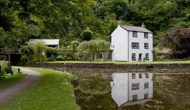 13 Abergavenny to Govilon, Abergavenny5.6 miles through Castle Meadows in Abergavenny to Govilon along the disused railway and back on the canal towpath.
 Health Walk - Swan Meadows & the River Gavenny, Abergavenny2.7 mile walk following the River Gavenny up and downstream.
Facilities
Routes
- Description of route - Abergavenny - Skirrid Fach / Little Skirrid
- Length of route (miles) - 3
- Typical duration of route - 1 Hour 45 Minutes