 to add an item to your Itinerary basket.

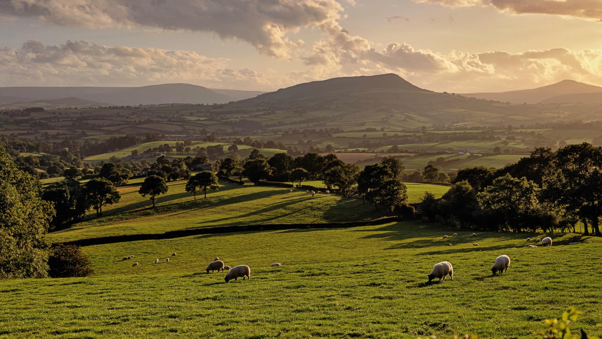
We love spring in Monmouthshire. It's time for new life and new adventures. Warmer days are coming and the promise of great days out in Monmouthshire ahead. Visit the Wye Valley and Bannau Brycheiniog (Brecon Beacons) in spring and you'll see our landscape bursting into life with swathes of yellow daffodils (Wales' national flower), trees covered in bright green buds and our woodlands carpeted in beautiful bluebells.
It's also a great time for events, with two great bank holidays coming up in May. Then there's springtime flowers at open garden events, racedays at Chepstow Racecourse, the Wye Valley River Festival and much much more. This also heralds a new season for Monmouthshire's favourite attractions such as Caldicot Castle and the Old Station Tintern.
On the border with England, and at the crossroads between the Wye Valley National Landscape, Bannau Brycheiniog (Brecon Beacons) National Park and the low-lying cultural landscape of the Gwent Levels, welcome to Wales' food capital!